Saddleback Surveys, Inc.
Irvine, CA 92606
Featured Project Return to Projects List
Springville-Lindsay-Venida66kV Re-Conductor
Project Information
- Project Location:
- Lindsay, CA
- Approx Contract:
- $70,000
- Status:
- Completed - Jun 2018
- Structure Type:
- Utilities
Scope Of Work
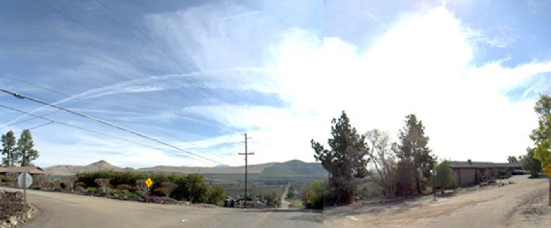
This Survey was for Utility Inventory purposes and Record Data Base Map preparation along a 17-mile route, requested for planning purposes for reconducting existing facilities in the rural area of Lindsay.
Period of performance January 2018 – June 2018
Location of work – Tulare County
Value of project – SBS contract $72,000
Description of work performed – Mobile mapping and base mapping with rights check analysis
17 miles of Mobile Mapping
17 miles of LiDAR data extraction
Property line research and mapping base compiled / Future Right of Way width research
QA/QC
Rights Check documents
Zero days lost to injury or illness, had no performance issues reported – scope was changed and project was reformatted after initial submittal.
Mobile Mapping LiDAR Survey: A truck mounted mobile mapping scanner was used to drive the entire 16.72-mile route, round trip, (33.44 miles) in less than an hour. A point cloud was generated to extract 3d topographic pole data, anchors, driveways, pathways, utilities, edge of pavement and fences, which eliminated the need for a traditional aerial survey and reduced both time and cost of drafting a topographic base map.
Research:Extracted pole and wire data from FIM Maps provided by SCE. All Record Maps needed to prepare a Record Data Base Map were obtained online from the Tulare County Surveyor’s website. Centerline ties were also downloaded to ensure proper and sufficient field ties.
Boundary Reconnaissance: Located all existing centerline street monuments along the entire route needed to accurately position right-of-way and property lines used to create a Record Data Base Map.
As-built Strip Map: FIM Map data was integrated into the LiDAR topographic base map. Prepared an 18 sheet 60-scale strip map with all topographic data labeled, including drainage crossing and assessor’s information.
Field Site Walk: For QA/QC purposes a field crew walked the entire route to verify all pole data, wire connections, tap lines and topographic data shown on the Final Strip Map was accurate and current.
Rights Check: Plotted all record easements supplied by SCE after their initial review.
Project Images
