APS Survey & Mapping
Bellevue, WA 98005
Featured Project Return to Projects List
Fort Lewis Projects
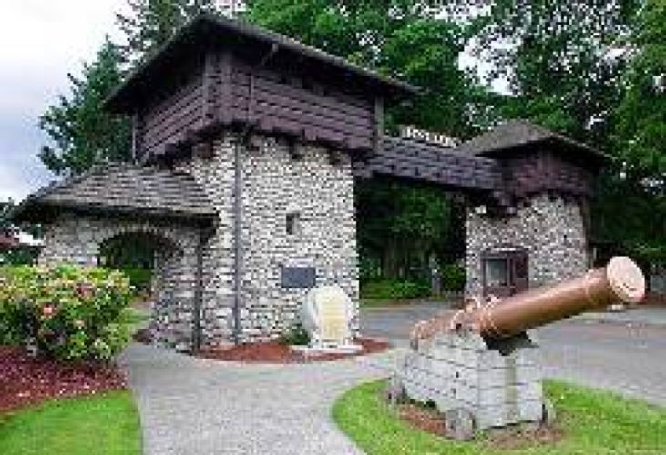
Project Information
- Project Location:
- Fort Lewis, WA
- Approx Contract:
- $80,000
- Status:
- Completed
- Structure Type:
- Government
References
- Owner:
- APS
Scope Of Work
Fort Lewis Projects, Fort Lewis, Washington. In March of 2008, APS Surveying & Mapping was selected by HDR Engineering to survey and map several sites within Fort Lewis, WA. The survey consisted of detailed surveys of eleven separate sites to include trees, utilities (as-builts, locate paint, and potholes), structures, improvements (sidewalks, retaining walls, and parking), roadways (centerline, curbs, and flowlines), signs, ground breaks and landscaping. The sites varied in size from 20-acres to 1.4-acres, with a total in excess of 100-acres. The sites varied from wooded areas to fully developed sites. In order to provide the magnitude of this project, APS Surveying & Mapping took more than 9000 individual observations, to include 746 storm structures, 2691 trees and 446 water structures. The subsurface locates (completed by an outside company) were coordinated by APS Surveying & Mapping; in order to preserve paint marks during on-going, active construction and rain. Because the sites were separate; APS created a control network using our Trimble 5700 GPS units to leave two primary control points on each site. The network was based on a fast static Second Order Class II GPS method. All the mapping was completed in 38 days, two weeks ahead of schedule. The mapping was on Corps of Engineer Sheets, using the Seattle District’s level/layering schema in AutoDESK